Utility Locating

As-Built Services

As-Built Drawings

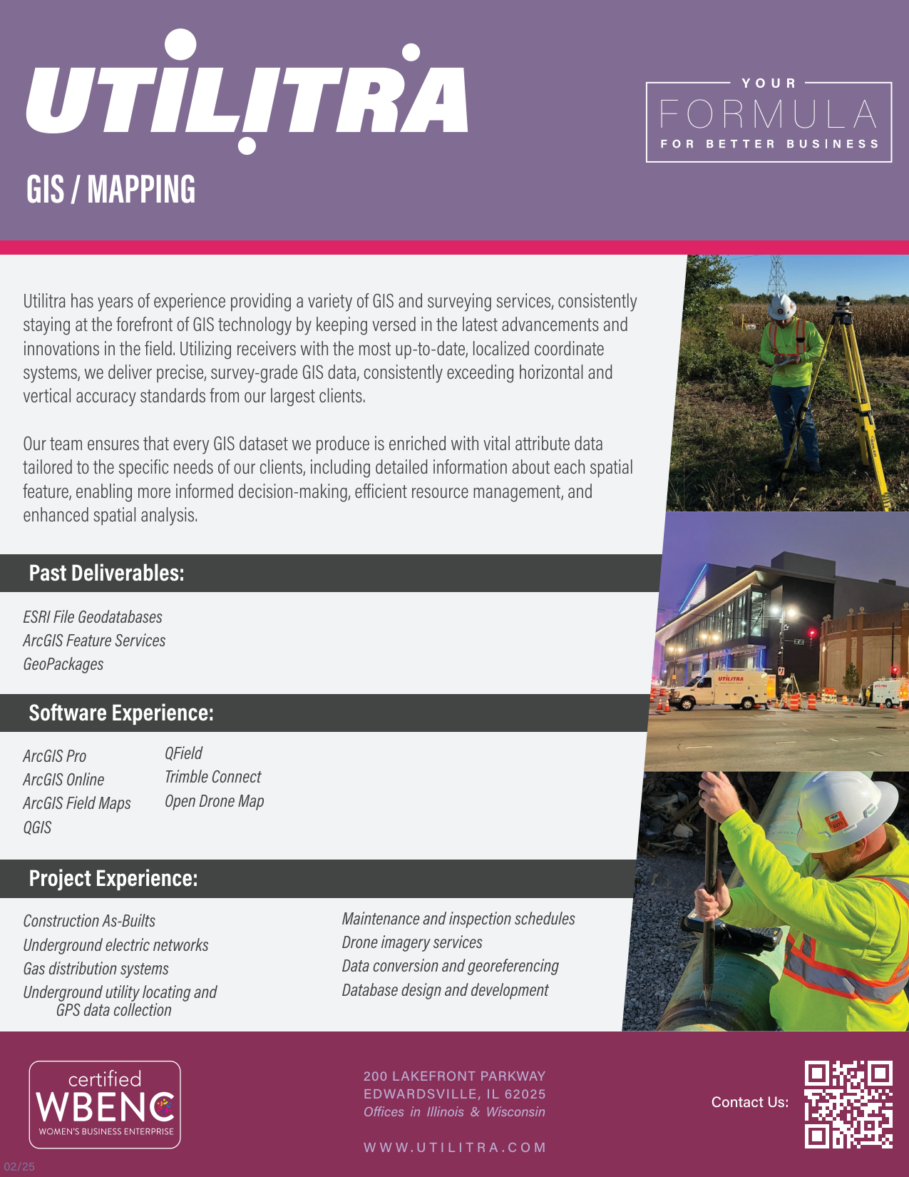
GIS Mapping

Development Plays & Layouts

Construction Support & Coordination

Construction Stakeout

Utility Coordination

Fiber Design

Civil Design
Gas Design

Material Management

Permitting

Legal Descriptions

Drone Services